01
Real estate photography and video
Show the property, land, outlook, access and nearby features in a way that helps a listing stand out.
AeroLens captures fit-for-purpose aerial photography, video and site imagery for property, construction, solar and commercial assets across Queensland.
The right height, angle, light and camera movement can show location, scale and condition far more clearly than ground-level images alone.
Show the property, land, outlook, access and nearby features in a way that helps a listing stand out.
Photography and video for websites, social media, venues, tourism, hospitality and business campaigns.
Repeatable aerial images and video for progress reports, stakeholder updates and milestone records.
Photographs and video of completed work for handover, case studies, tenders, capability statements and award submissions.
Detailed aerial photographs of solar arrays to document visible damage, debris, shading and areas that may need closer inspection by a qualified technician.
Clear photographs of buildings, land, infrastructure and hard-to-access areas for records, planning or follow-up assessment.
We confirm the site, intended use and required shots before flying. That keeps the work focused and avoids collecting footage you do not need.
Each job is scoped around the decision, record or campaign the material needs to support. Delivery can include selected high-resolution images, edited video, organised site views and clearly identified areas for follow-up.
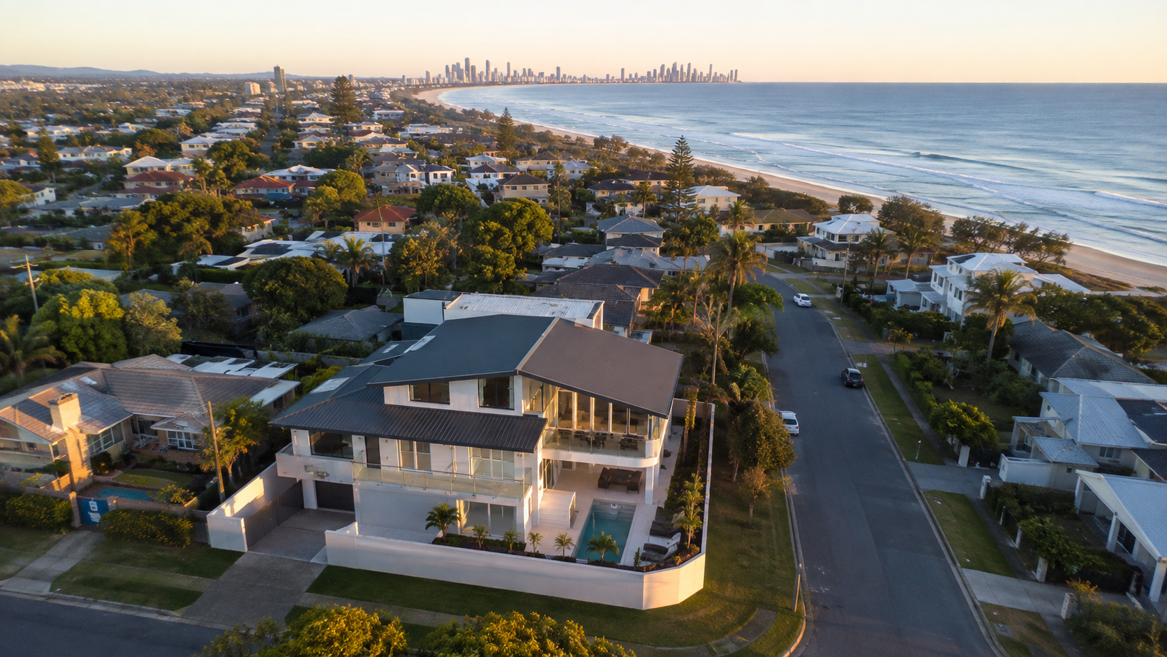
Service imagery is illustrative and is not presented as completed AeroLens client work.
Provide the location, intended use, preferred timing and any required shots.
We check the site, weather, airspace and the best time and angles for the work.
The selected photographs and video are edited and supplied in formats suited to their intended use.
Send the location, timing and intended use and we will recommend suitable coverage.